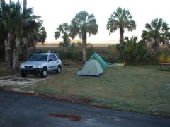
Saturday morning
|
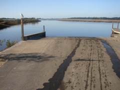
High tide at the Shell Mound boat ramp
|
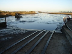
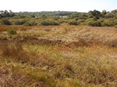
Low tide at the Shell Mound boat ramp - muck 300 yds. Out
|
|
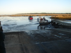
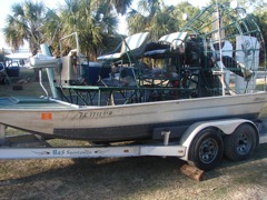
Airboat Launch at Shell Mound @ Low tide
|
|
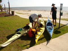
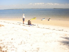
Packing up at Cedar Key on Saturday
|
|
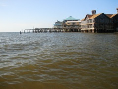
Cedar Key
|
|
|
|
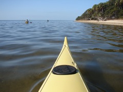
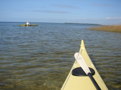
Seahorse Key
|
|
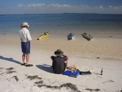
Lunch at Seahorse
|
|
|
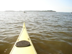
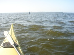
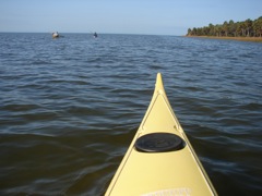
Looking back 3 miles to Cedar Key
|
Atsena Otie Key to the right
|
|
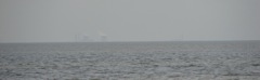
Crystal River Nuclear Power Plant in the distance
|
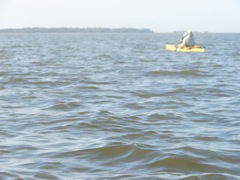
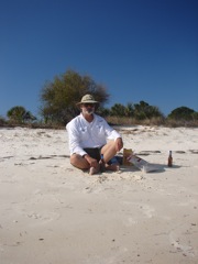
Yes - I really was on the trip!
|
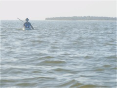
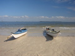
Two VCP's
|
|
|
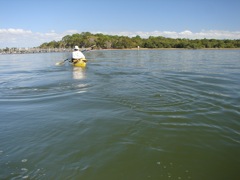
Circumnavigating Seahorse Island
|
|
|
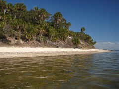
30 ft. sand cliffs on the Gulf side of the island
|
|
North key in the background
|
|
|
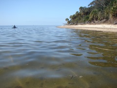
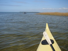
Paddling up to Atsena Otie Key
|
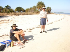
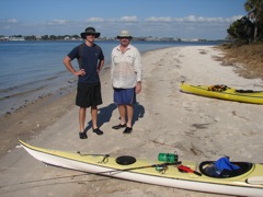
Taylor and Dave on Atsena Otie Key
|
|
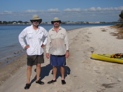
Me and Dave - Cedar Key in the background
|
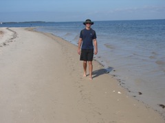
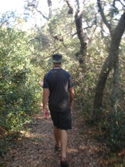
Hiking back to the graveyard
|
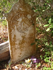
Gravestones on Atsena Otie Key
|
|